Revisiting building survey for a heritage barn conversion

Building survey to assist architect’s design
In early 2018, we carried out a measured building survey on a listed barn (plus outbuildings). The resulting data was required to assist the architect commission to convert the barns into private dwellings.
This meant revisiting survey data from 2012 from which we had created floor plans, sections and elevations. Our topographical survey at this time had recorded the site, farm buildings and existing drainage system. For the 2018 project, we updated this existing data to show the changes to the original farmhouse. This included adding the new drainage system installed during the earlier renovation.
Revisit and update survey data
We were able to use the primary control from the original survey having established the client’s future needs – as we always do.
We scanned the barns and outbuildings using terrestrial laser scanners. These scans were controlled by targets established for the primary control and cloud-to-cloud registration. Taking additional measurements by hand with laser distance meters and automatic levels ensured the validity of all the scan data.
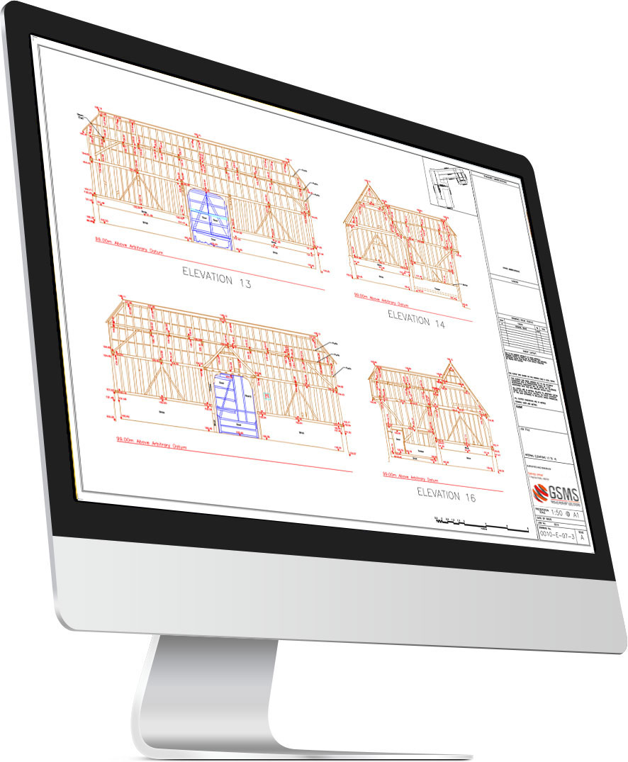
From this data, we produced the following: 2D floor plans, reflected ceiling plans, internal and external elevations, cross sections. The internal elevations showed the location and state of repair of all the barn’s oak timber frame. In addition to enabling the conversion design, our data provided the necessary condition record for English Heritage.
Please read more on our measured building surveys
